Primary school
Koitalel Primary
A mixed day primary school in Bomet County.
Koitalel Primary is in Konoin location, Kimulot division and Kaptebengwet constituency. It is a public school sponsored by a religious organisation.
School details
- Level
- Primary School
- Gender
- Mixed
- Boarding or day
- Day
- Ownership
- Public
- Sponsor
- Religious Organisation
- Student needs
- Ordinary
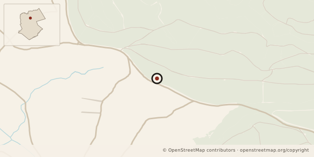
Location
Nearby schools
- Kaptien Primary School (1587.10m)
- Kaptien Secondary School (1587.10m)
- Kiptiget Primary School (2032.37m)
- Kaptembwo Primary (2518.42m)
- Kaptembwo Secondary School (2518.42m)
Other details
- Level
- Primary School
- School code
- Gender
- Mixed
- Day/boarding
- Day
- Ownership
- Public
- Sponsor
- Religious Organisation
- Student needs
- Ordinary
- Pupil Classroom Ratio
- 33.9
- Pupil Teacher Ratio
- 45.2
- Pupil Toilet Ratio
- 38.7
- Teachers Toilets
- 3
- Total Number of Classrooms
- 8
- County
- Bomet
- Constituency
- Kaptebengwet
- Province
- Rift Valley
- District
- Bureti
- Division
- Kimulot
- Location
- Konoin
Staff counts (2007)
| Staff type | Number |
|---|---|
| TSC Male Teachers | 4 |
| TSC Female Teachers | 2 |
| Local Authority Male Teachers | 0 |
| Local Authority Female Teachers | 0 |
| PTA Board of Governors Male Teacher | 0 |
| PTA Board of Governors Female Teacher | 0 |
| Other Male Teachers | 0 |
| Other Female Teachers | 0 |
| Non Teaching Staff Male | 0 |
| Non Teaching Staff Female | 0 |
Facilities (2007)
| Facility | Boys | Girls | Total |
|---|---|---|---|
| Toilets | 3 | 4 | 0 |
| Enrollment | 0 | 0 | 271 |
Data sources
The school description and other details come from the 2013 school data. Staff and facility figures show their recorded years.
- Kenya Open Data Initiative.
- Map data: © OpenStreetMap contributors; county outline: geoBoundaries.