Secondary school
Teremi High Sch
A mixed day school in Bungoma County.
Teremi Boys High School is a Boys Boarding School.The High School is a mixed day school,located in Makuyuni location, Bungoma County
Teremi high school was founded 1965 and is a County Boys boarding school managed by the school's board of governors.
It is a Christian non - denominational school providing the Kenya Certificate for Secondary Education.
Every form has six streams. As of 2013, the student s population had increased from 500 in 2002 to 1600.
School details
- Level
- Secondary School
- Gender
- Mixed
- Boarding or day
- Day
- Ownership
- Public
- Sponsor
- Religious Organisation
- Student needs
- Ordinary
- Postal address
- 203 CHWELE
Location
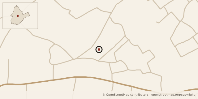
Nearby schools
- Chenjeni Ersf Pri Sch (386.54m)
- Teremi Ersf Pri Sch (730.50m)
- Milan S Aca Pri Sch (1320.13m)
- Milan S Aca Nur Sch (1320.13m)
- Milan S Aca Sec Sch (1320.13m)
Other details
- Level
- Secondary School
- School code
- J8010177
- Gender
- Mixed
- Day/boarding
- Day
- Address
- 203 CHWELE
- Ownership
- Public
- Sponsor
- Religious Organisation
- Student needs
- Ordinary
- Acreage
- 0
- Acreage per enrolment
- 0.0
- Pupil Teacher Ratio
- 28.3:1 (2007)
- Total Enrolment
- 1046
- Total Teaching staff
- 37
- County
- Bungoma
- Constituency
- Sirisia
- Province
- Western
- District
- Bungoma
- Division
- Chwele
- Location
- Mukuyuni
- Sub-location
- Kibichori
- School zone
- Chwele
Staff counts (2007)
| Staff type | Number |
|---|---|
| TSC Male Teachers | 22 |
| TSC Female Teachers | 4 |
| Local Authority Male Teachers | 0 |
| Local Authority Female Teachers | 0 |
| PTA Board of Governors Male Teacher | 9 |
| PTA Board of Governors Female Teacher | 2 |
| Other Male Teachers | 0 |
| Other Female Teachers | 0 |
| Non Teaching Staff Male | 25 |
| Non Teaching Staff Female | 9 |
Data sources
The school description and other details come from the 2013 school data. Staff and facility figures show their recorded years.
- Kenya Open Data Initiative.
- Map data: © OpenStreetMap contributors; county outline: geoBoundaries.